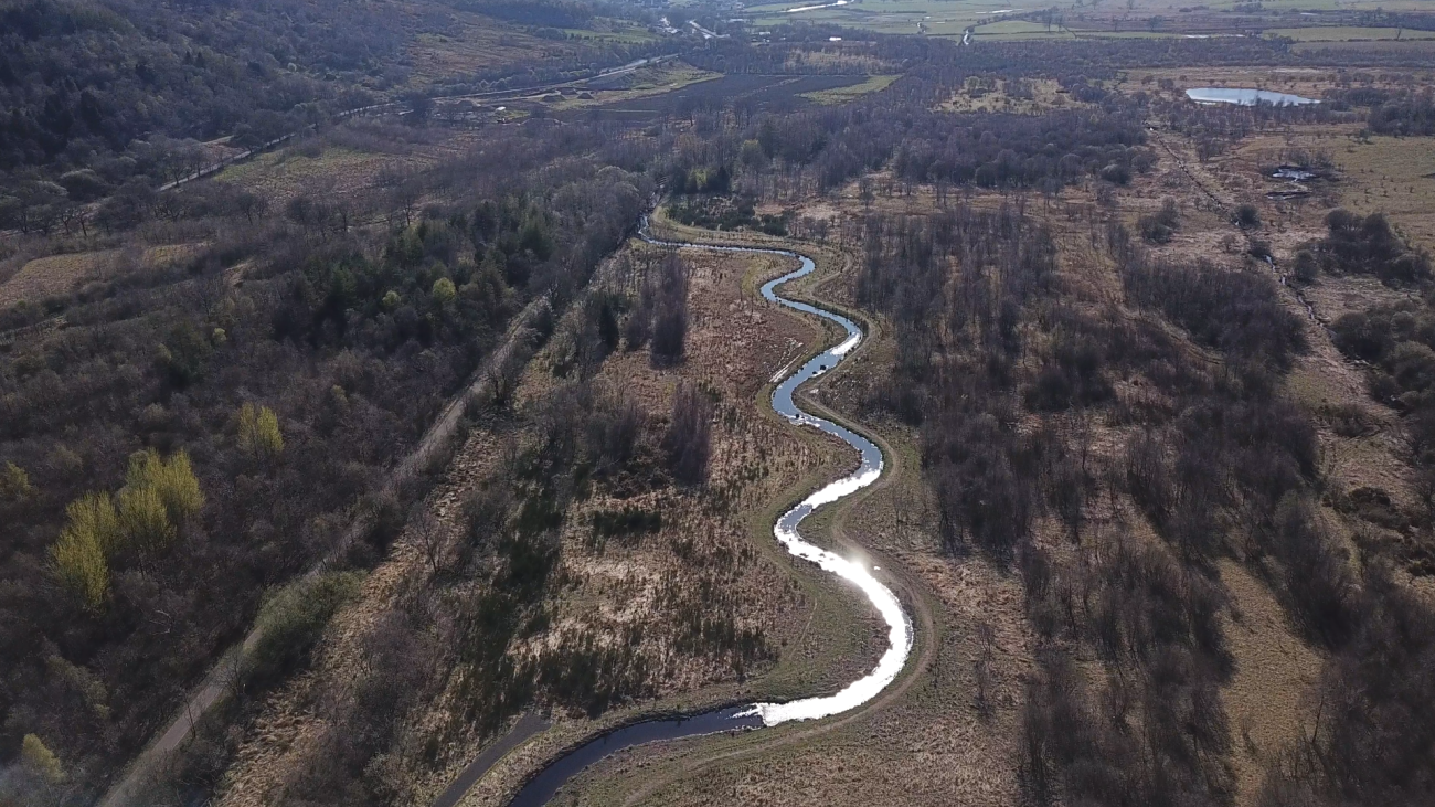
The initiative re-established the route of the Garrell Burn to one closely resembling the original route. Historical land use had straightened the burn and the channel was enclosed by high steep brick walls. When water levels were high and in times of extreme rainfall the water would flow down the channel very quickly. It would move through the reserve and high volumes of water would enter the River Kelvin. This excess water would then flood the surrounding land and further downstream. This artificial system provided no benefit to the natural environment at Dumbreck.
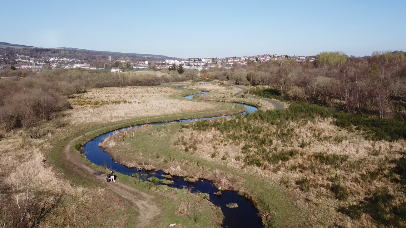
By introducing curves and bends to create meanders approximately 600m of the Garrell Burn was returned to a more natural state. Dumbreck lies in a natural floodplain area. Introducing meanders along the route provided opportunities to slow water flow down allowing water to be retained for longer in this area. This provided much needed ‘wetting’ of the marsh environment which had been drying out.
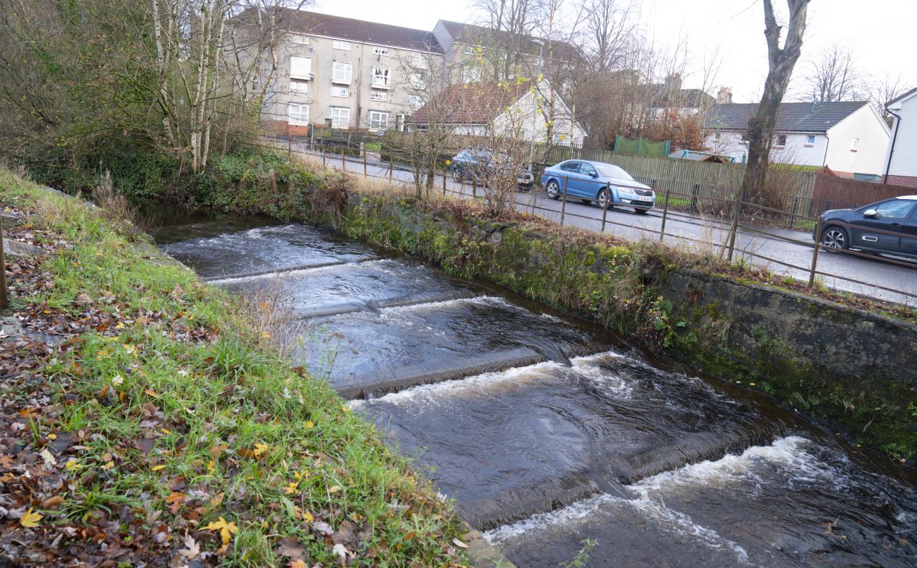
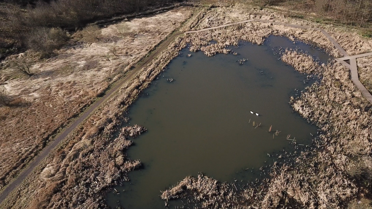
Reducing the water flow and allowing the water to flood in places also creates a variety of habitats. At different times along the channel there will be dry or wet areas that encourage vegetation. After a century of absence, fish surveys identified Salmon had returned to the Garrell Burn. The creation of 2 fish passes removed impassible weirs allowing fish species and eels to travel further upstream to the headwaters.